
Scotchells Brook is a tributary of the East Yar, the largest river on the Isle of Wight. It flows north from the pasture fields of St Martins and Shanklin Downs to the flat valley bottom where they meet at Alverstone.

This 4.29 mile link to the Yar River Trail starts at Shanklin railway station and dips in and out of the course of the brook and its tributaries to join the Trail near Alverstone. It can also be used to create a 7.8 mile circular walk returning to Shanklin. Waymarkers will guide you along the Trail. They are attached to signposts, gates and fences.
From Shanklin the trail takes you into pretty America Woods where you will see Scotchells Brook for the first time. After the woodland the trail heads to the pretty water meadows of Ninham Farm.
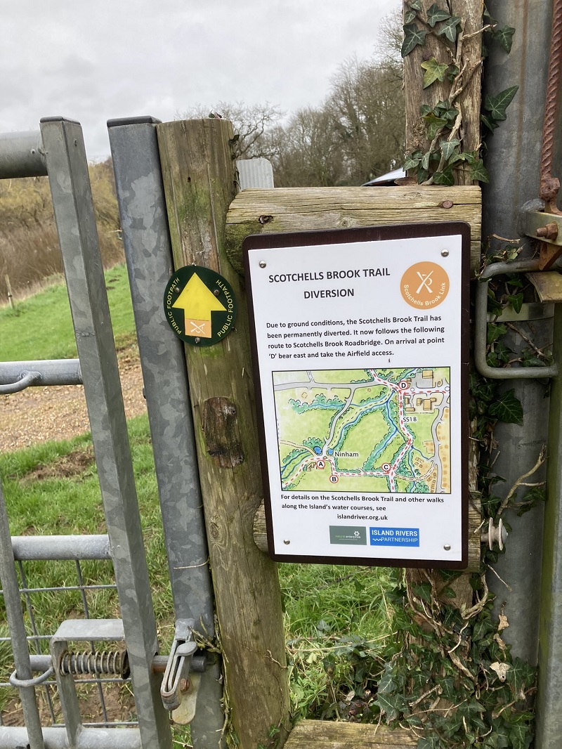
Unfortunately (!) the water meadows here have decided to do what they are supposed to do, and are very boggy. We have therefore taken the decision to reroute the trail along the woodland paths before reaching the main road at Lake. If you are following the trail with one of our leaflets, you will find a sign advising of the diversion. Alternatively, the amended route map can be printed below.
Back to the trail. Once you reach the main road, crossing the bridge you will have a glorious view of those muddy meadows! Then passing the airport on the way to Alverstone Mead (one of the best places on the Island to spot red squirrels) and the Eastern Yar.

The circular walk takes in Benstead Marsh and Sandown Community Orchard before returning through a golf course and meadows to Lake and on to Shanklin on an ancient highway.

We have produced a leaflet that includes a map and concise directions for following the Scotchells Brook Trail. It is also downloadable here:
Scotchells Brook Link – directions – note amended route detailed above
Scotchells Brook Link – map side