Island Rivers

All about rivers on the Isle of Wight

  • The Rivers
    • Newport Rivers
      • Fairlee Hole
      • Gunville Stream
      • Lukely Brook
      • Pan Stream and Staplers Stream
      • River Medina and Merstone Stream
    • East Wight Rivers
      • Blackbridge Brook and Wootton Creek
      • Eastern Yar
      • Monktonmead Brook
      • Munsley Bog
      • Palmers Brook
      • Scotchells Brook
      • Wroxall Stream
    • West Wight Rivers
      • Caul Bourne
      • Chine Streams
      • Gurnard Luck
      • Newtown Rivers
      • Rodge Brook
      • Thorley Brook
      • Western Yar
    • Data about Isle of Wight watercourses
  • Chines
    • All about Chines
      • Forming the Chines
      • Changing Chines
      • Archaeology 1
      • Archaeology 2
      • Geology on Show
      • Smuggling
      • Shipwrecks & Lifeboats
      • Chines in Wartime
      • Wildlife of the Chines
      • Life of Leisure
      • Future for the Chines
    • Chines Research & Reports
    • Exploring the Chines
      • Small Hope Chine & Shanklin Chine
      • Luccombe Chine
      • Blackgang Chine
      • Whale Chine, Ladder Chine & Walpen Chine
      • Shepherds Chine & Cowleaze Chine
      • Grange Chine & Marsh Chine
      • Chilton Chine
      • Brook Chine & Churchill Chine
      • Compton Chine & Shippards Chine
      • NW Coast Chines
  • Explore
    • Fishing
    • Multimedia
    • Walks/Rides
    • Exploring the Chines
  • Love Your River
    • State of Our Rivers
    • Best Practice
      • Advice for people living alongside a watercourse
      • Consents
      • Driveway Best Practice
      • Reducing Phosphates
      • Riverine Rights & responsibilities
      • Septic Tank Advice
      • SUDs
    • Issues
      • Flooding
      • Invasive Non-Native Species
      • Litter and other rubbish
      • Sewage discharges to rivers and the sea
      • Water Quality
      • Water Resources
    • Pond Care
    • The Water Cycle
    • Info & Links
    • Get Involved
    • What’s its name?
    • Home learning about rivers
  • Projects
    • Map of Island River Partnership Projects
    • Our Aspirations
    • Current Projects
      • Bringing Beavers Back to the Isle of Wight
      • Catchment Sensitive Farming
      • Farm Capital Grants
      • Himalayan Balsam – Join our Balsam Bashers!
      • Improving the Lukely Brook
      • Lower East Yar Naturalisation
      • Pathfinder
      • Plant Positive – Invasive Non- Native Species Removal
      • River Club
      • Solent Plastic Pollution Hub
      • Wroxall Stream Water Voles
    • Past Projects
      • Dodnor Rediscovered (2018)
      • Gateway to the East (2020)
      • Meanders and Reflections (2020)
      • Medina Houseboats (2016)
      • Septic Tanks
      • Wetland Restoration (2020)
      • Wroxall Stream Enhancements (2020)
      • Wroxall Wetlands 1 (2016)
      • Wroxall Wetlands 2 (2016)
  • About
    • Catchment Based Approach
    • Island Rivers Catchment Plan
    • Our priorities for the Island’s watercourses
    • Legislative Framework
    • Newport Rivers Group
    • Contact
    • Privacy, GDPR and all of that
  • Events
  • News
You are here: Home / About / What we do / Eastern Yar Meetings

Eastern Yar Meetings

EA Inspection walk Sep 14 Alverstone Bridge

This area includes the Eastern Yar and also Wroxall Stream and Scotchells Brook, both which feed into it.

An initial public meeting for the Eastern Yar was held in April 2014. Subsequently a report was commissioned to identify possible watercourse improvements and a further meeting was held in December 2014. The report was produced in 2015 and identified a number of opportunities, but did not include developed projects. The River Restoration Centre also visited the water-course and discussed the feasibility of some of these options. The report (LINK) has since become the blueprint for restoration and the following projects are being developed / delivered:

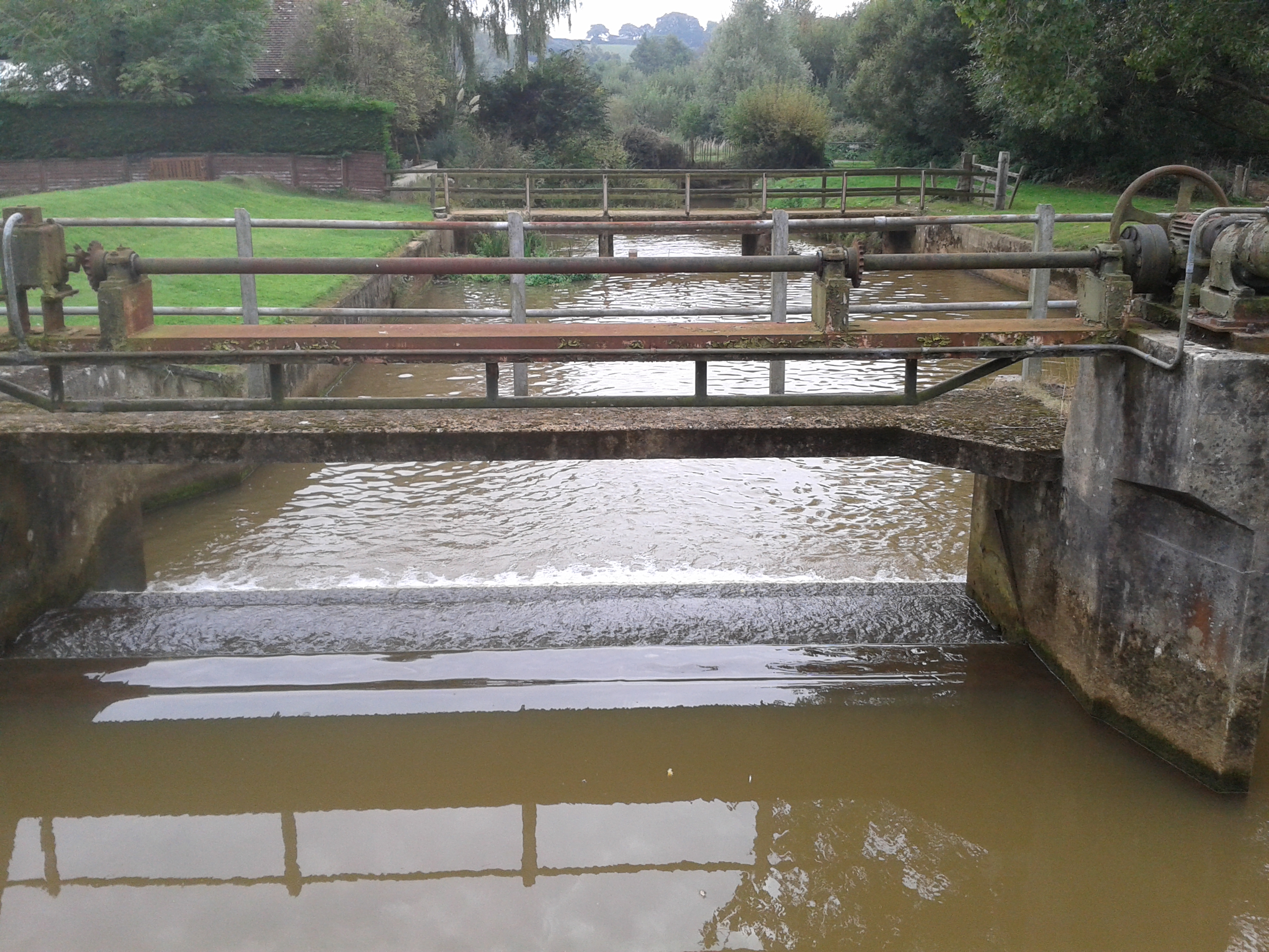
  • Gateway to the East – Use of active river restoration techniques to improve Fish passage and create hydromorphological changes that will diversify in-channel and marginal habitats and help bring to good ecological status as well as connecting rivers with their floodplain. Focussed on the area between Horringford Bridge and Alverstone Bridge
  • Wetland Restoration – Improvement and restoration of wetland sites in the East Yar Valley. Improvements of habitats including floodplain grazing marsh, wet fens and reedbeds at Sandown Meadows and private landowner sites including Alverstone Marsh SSSI, several SINCs and the Donkey Sanctuary.

In addition, once earlier actions are delivered for the Island Plan it should be relatively easy to take forward the following action

  • To protect Scotchells Brook and urban parts of the Eastern Yar by working with the LPA to incorporate appropriate policies

Brading and Bembridge have produced Neighbourhood Development Plans but these do not identify any projects relating to water-courses.

Links

Atkins: Understanding the Eastern Yar

Arup: Eastern Yar Action Plan


Get free updates

To subscribe to our mailing list just complete your details below. We send our periodic newsletters and other important updates about the project.

Connect with us

  • E-mail
  • Facebook
  • Flickr
  • Twitter
  • YouTube

Hosted by Natural Enterprise Ltd

Island Rivers Partnership, Shide Meadows Centre, Shide Road, Newport, PO30 1HR · hello@islandrivers.org.uk · 01983 201563

Copyright © 2026 Natural Enterprise